


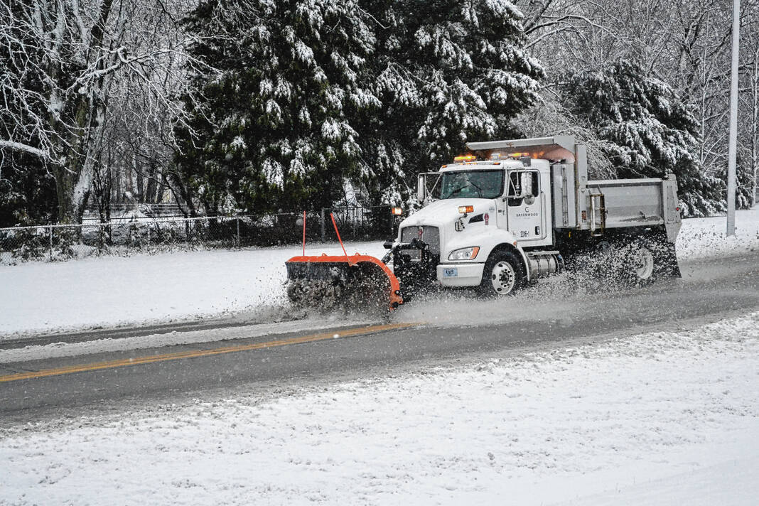
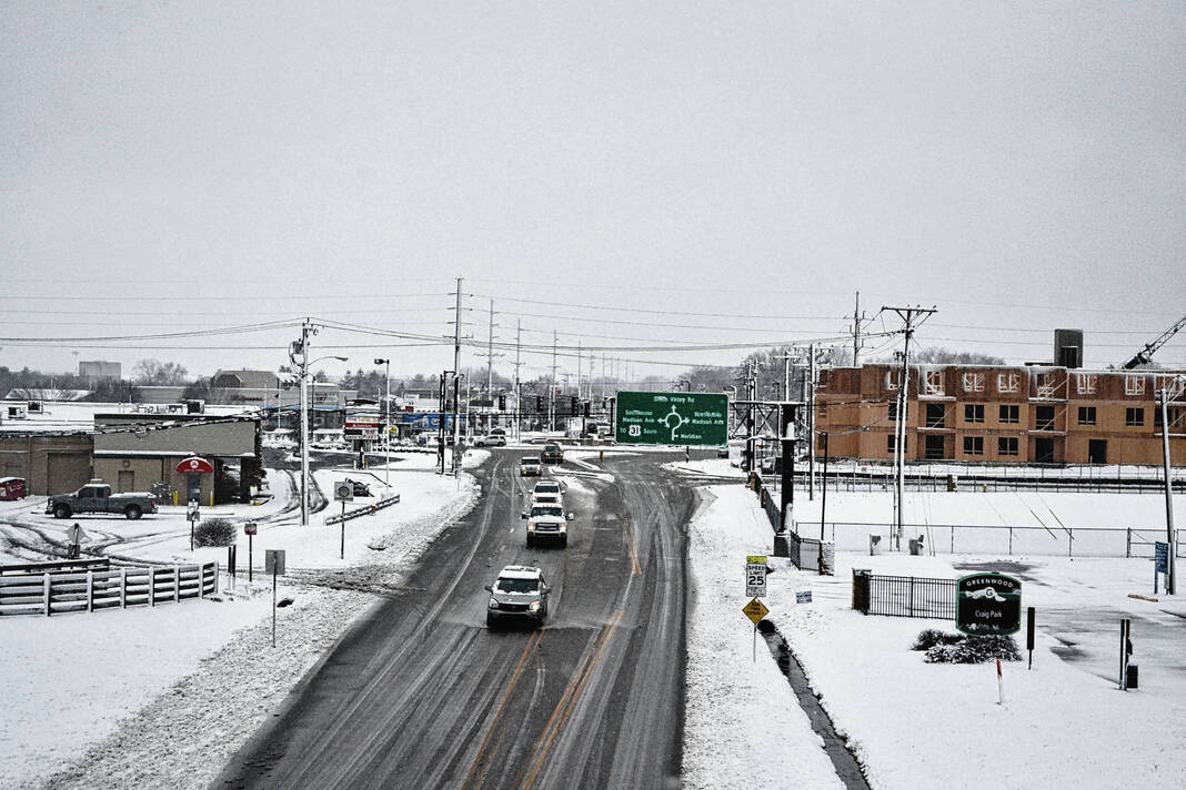
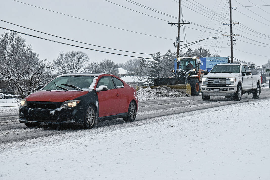
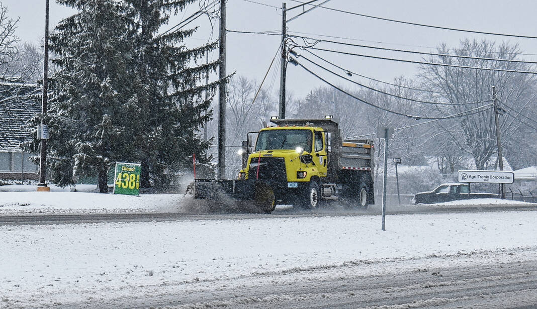
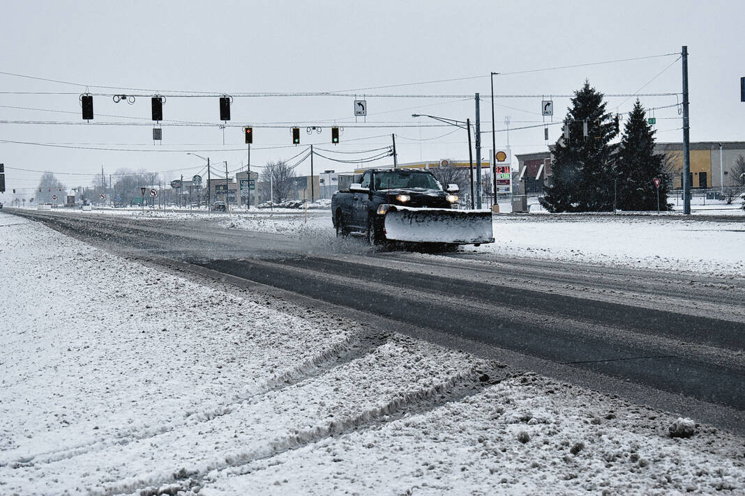
A car and a Greenwood plow truck pass near the intersection of Smith Valley Road and Polk Street as slush flies and snow falls on Wednesday morning.
Leeann Doerflein | Daily Journal
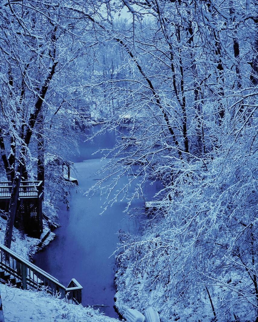
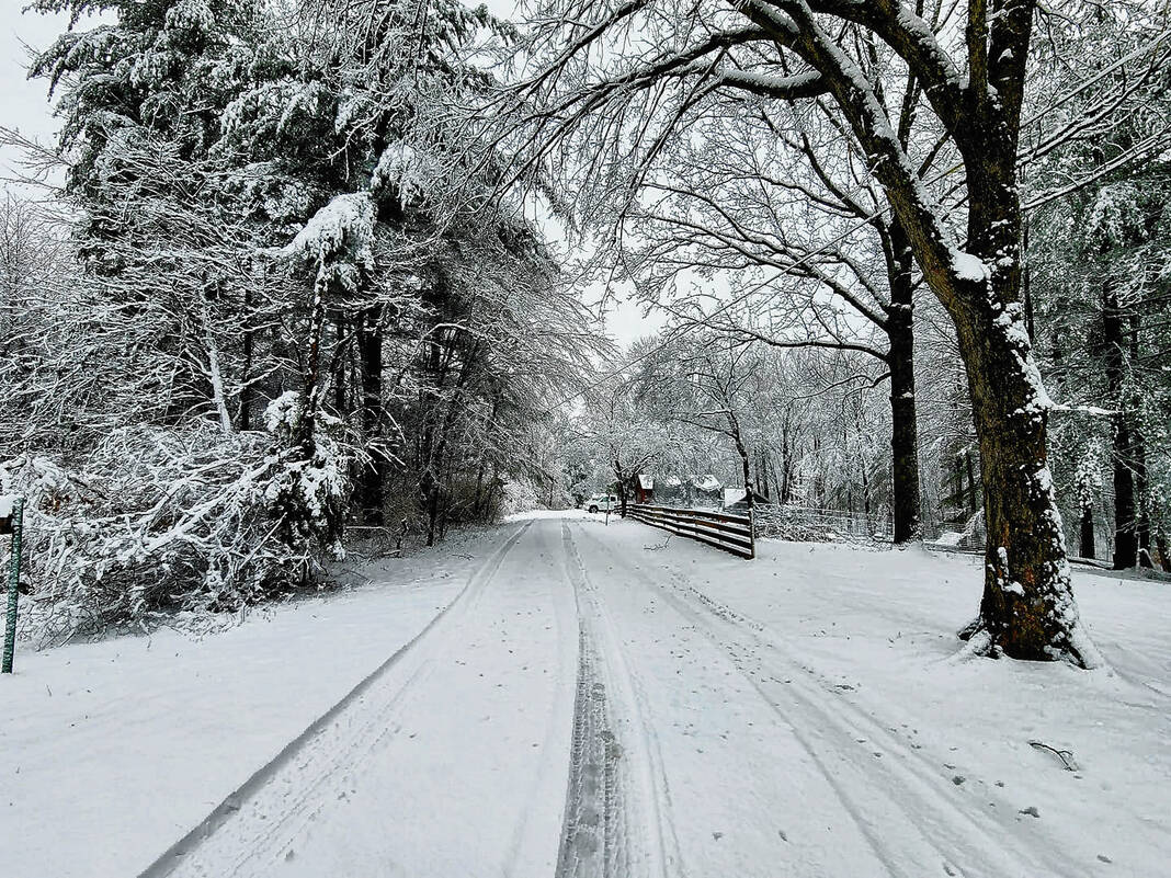
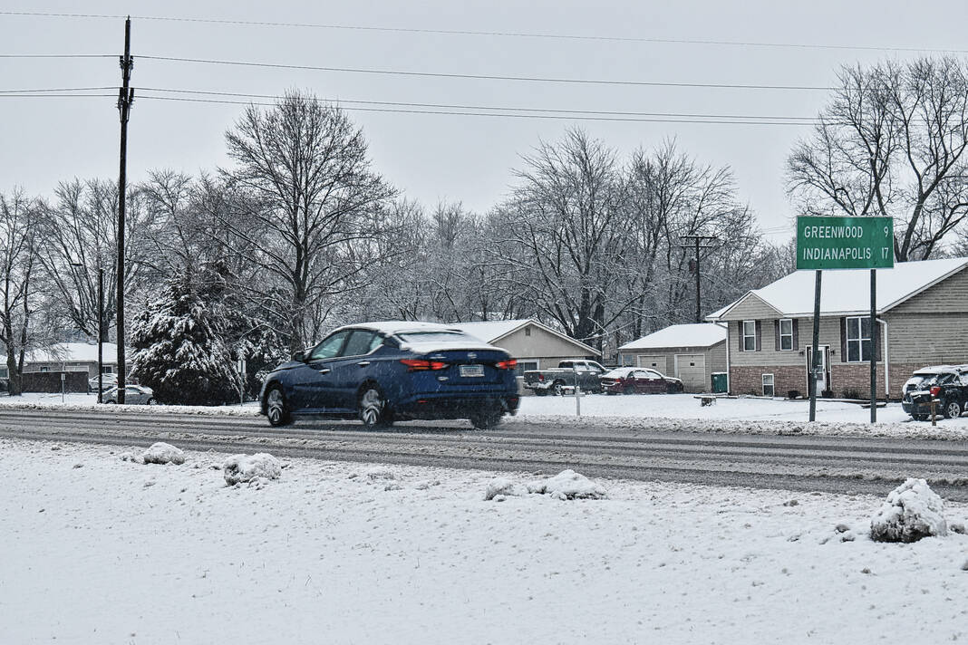
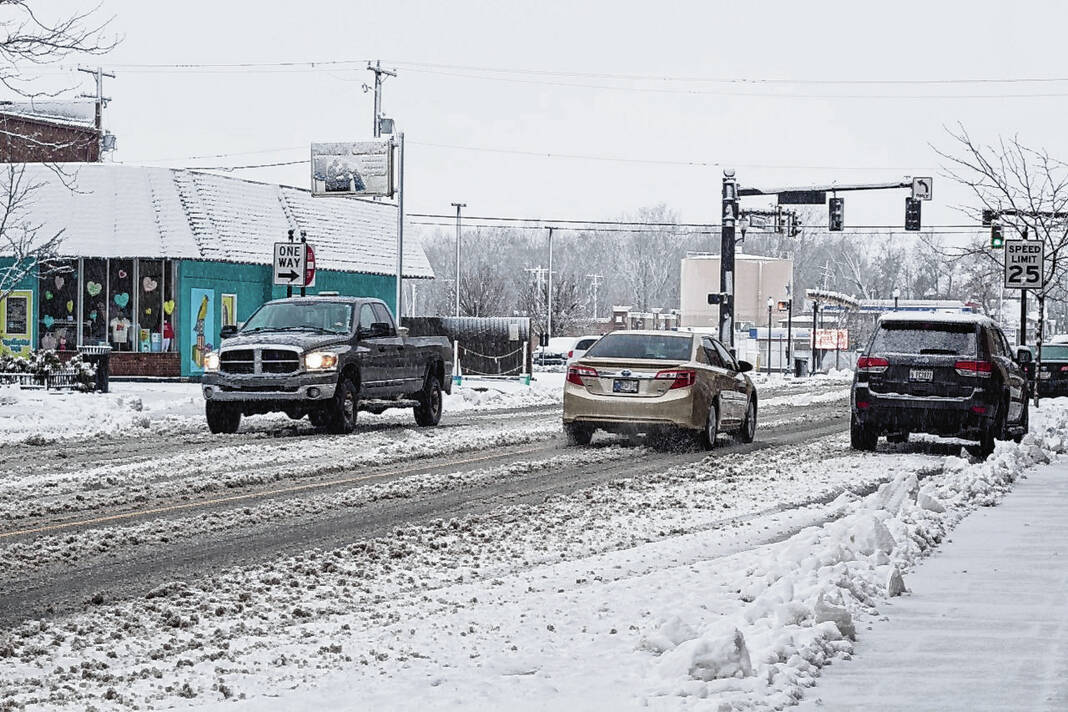
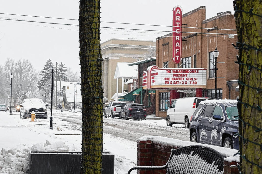
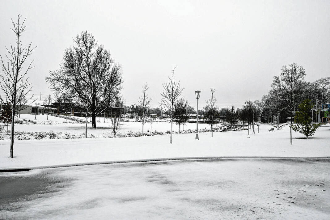
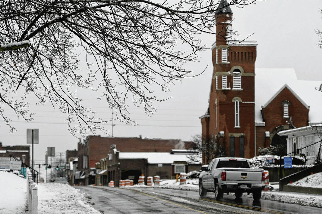
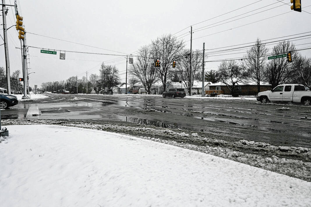
Johnson County was blanketed with as much as 3 inches of snow after a winter storm dropped rain and snow Wednesday.
Precipitation began as early as midnight, starting with rain and switching quickly to snow. By mid-morning, heavy snowfall was reported across the county, according to the National Weather Service.
The county was under a Winter Storm Warning Wednesday morning, though by 1:30 p.m. the warning was dropped.
Total snow accumulations between 2 to 6 inches were expected for the county on Tuesday, but as the storm arrived these totals were lowered. By early afternoon Wednesday, meteorologists said snowfall was expected to taper off over the next several hours.
“The worst is over for south-central Indiana,” said Gregory Melo, a meteorologist with the Indianapolis Forecast Office of the NWS.
Snow totals
Exact numbers for total snow accumulation were unknown Wednesday afternoon, but by 8 a.m., weather observer stations in Johnson County were reporting at least an inch of snowfall. Stations in Franklin ranged from 1 to 1.6 inches while a station in Greenwood reported at least 2 inches, according to the NWS.
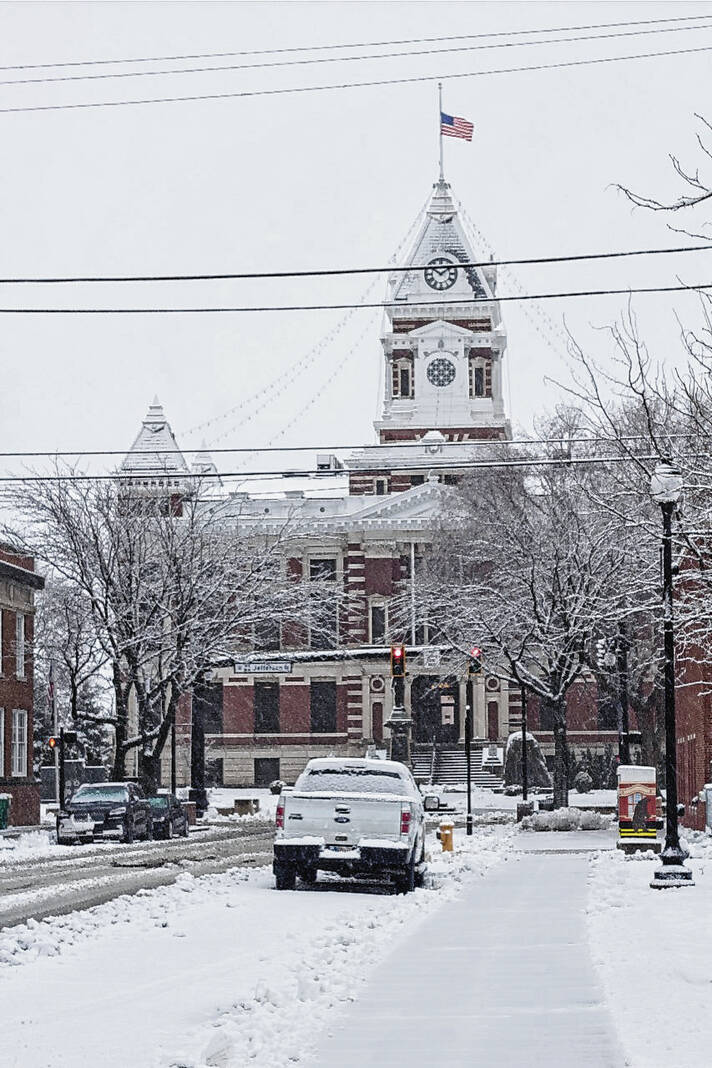
Revised estimates from the NWS say snow totals expected are to be near 3 inches in Franklin, data from Wednesday afternoon shows.
The amount of liquid precipitation — both rain and snow — that fell was about what meteorologists expected, Melo said. However, in terms of total snow accumulations, it was a bit lower than expected near and south of Interstate 70, he said.
“There was a lot of liquid water content in the snowfall, and it was really easy to melt the snow once it hit the ground and compacted,” he said.
Regardless, it’s the same amount of snowfall. It’s just not the same amount of accumulation, Melo said.
“People may think we saw less snow, but really it’s just because it melted and compacted,” he said.
Residents in southern Johnson County and northern Brown County also got to experience an unusual phenomenon because of the storm: thundersnow. This phenomenon is when snow is accompanied by thunder and lightning.
The unusual phenomenon was detected by a network of lightning sensors around 8 a.m. Wednesday. Other reports of thundersnow across Central Indiana came in later on Wednesday as well, according to the NWS.
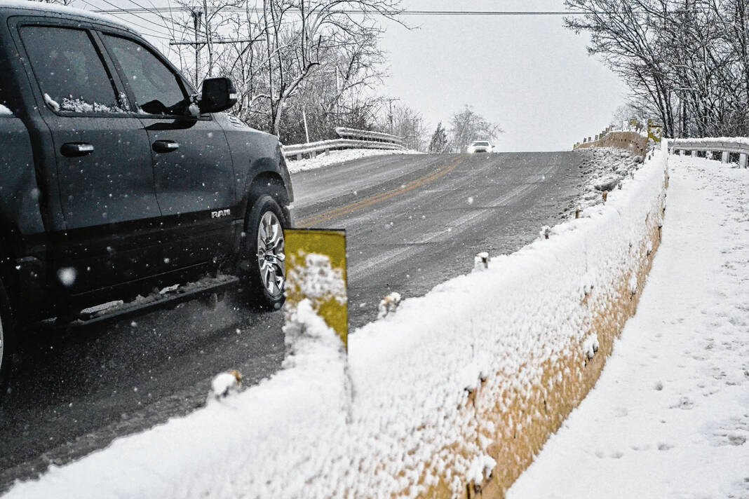
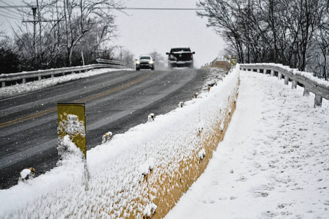
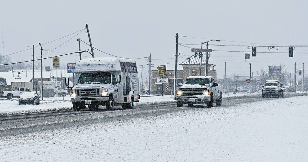
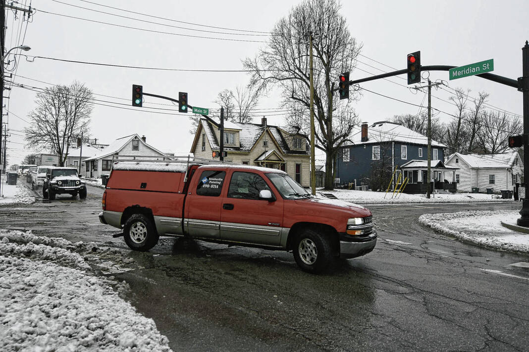
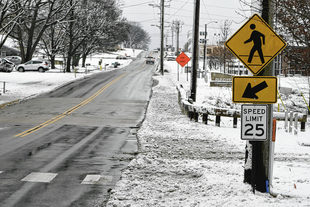
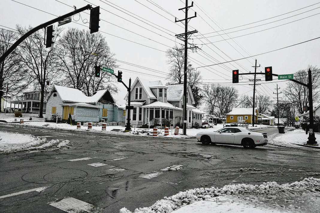
Road conditions
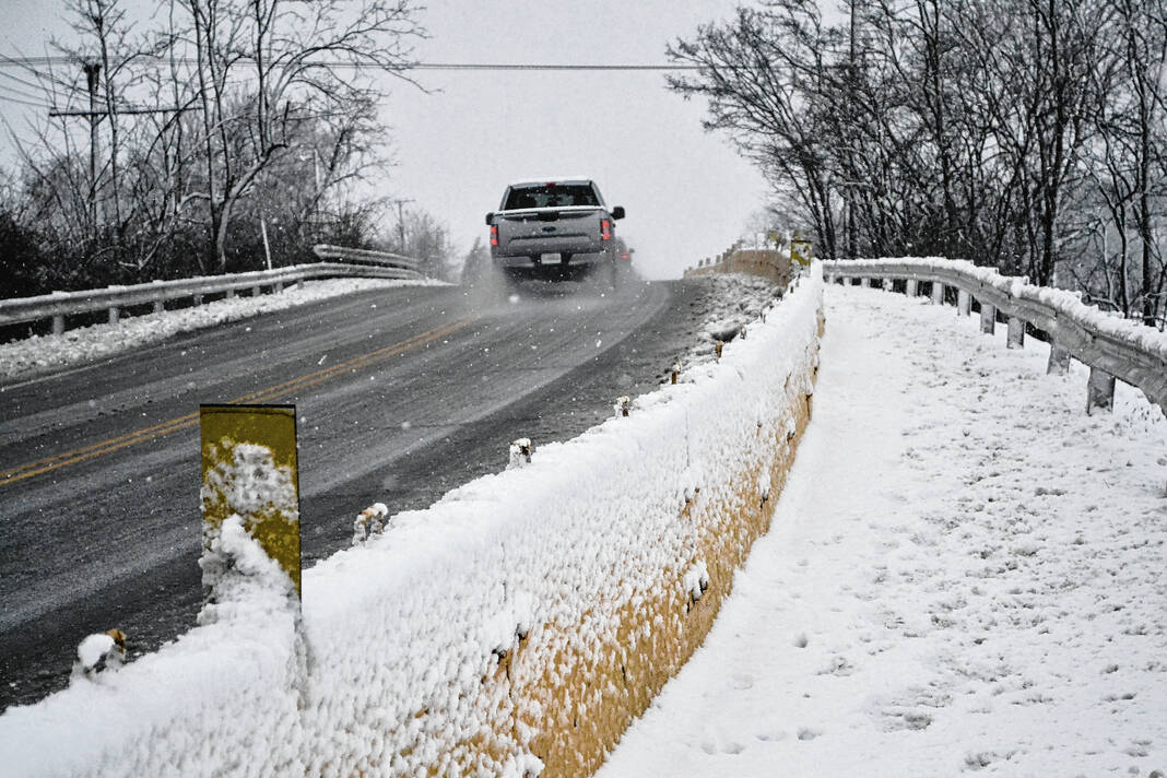
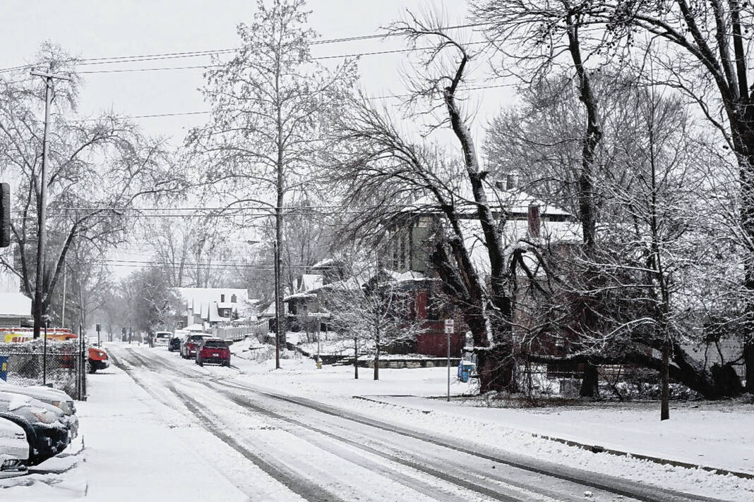
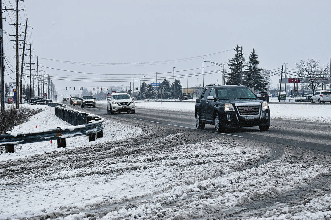
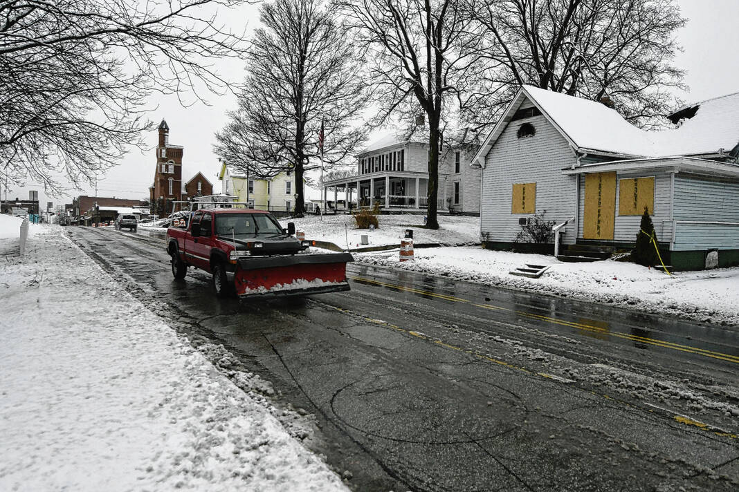
At the height of the storm, road conditions deteriorated to the point where Johnson County was under a travel watch for part of the day Wednesday. Though conditions improved enough by 3 p.m. for the county to be moved back to a travel advisory.
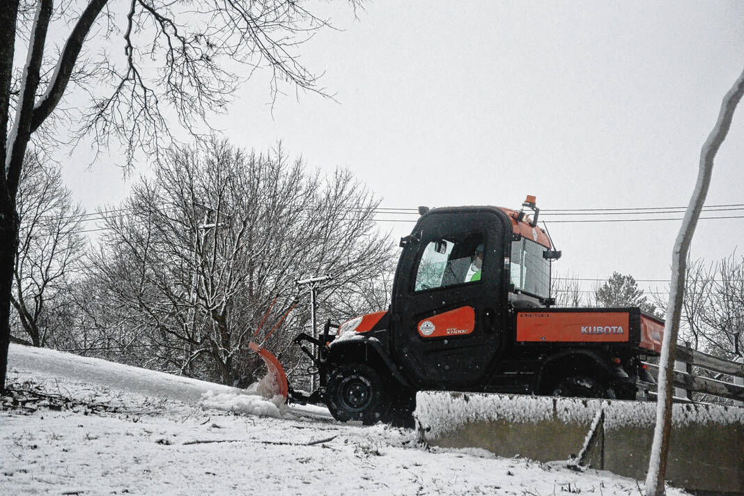
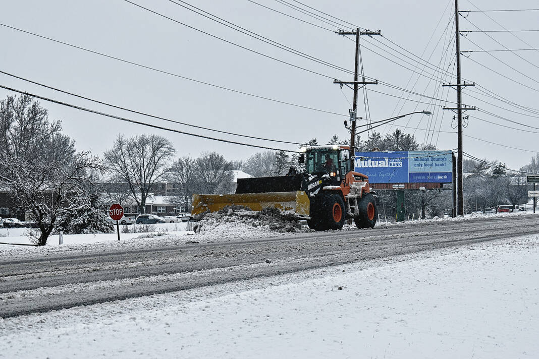
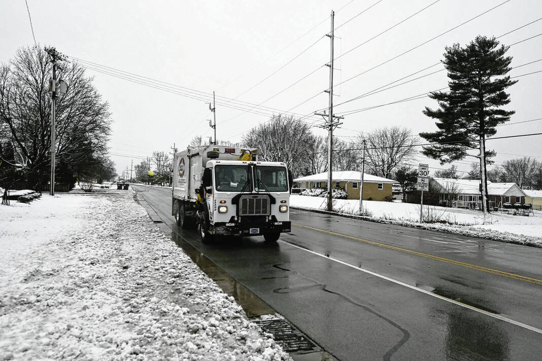
As snow let up in the afternoon, the Johnson County Highway Department was expected to be out in force clearing roads in unincorporated areas and neighborhoods in the county.
“It looks like the bulk of the snow has now stopped, which will allow us to hopefully get the roads plowed and cleaned up fairly quickly today,” said Luke Mastin, highway director.
The county had 20 trucks out with crews working since 7 p.m. Tuesday clearing and treating roads county-wide, Mastin said. He expected main roads handled by the county to be cleared by Wednesday evening, and crews could be working on secondary county roads, such as backroads, into the night and Thursday morning.
Different types of snowfall bring different challenges, Mastin said. With warm snow like this, the heavy snowfall makes it difficult to clear roads as it is snowing. But once snowfall clears, clearing roads moves faster, as the snow is wetter and easier to move.
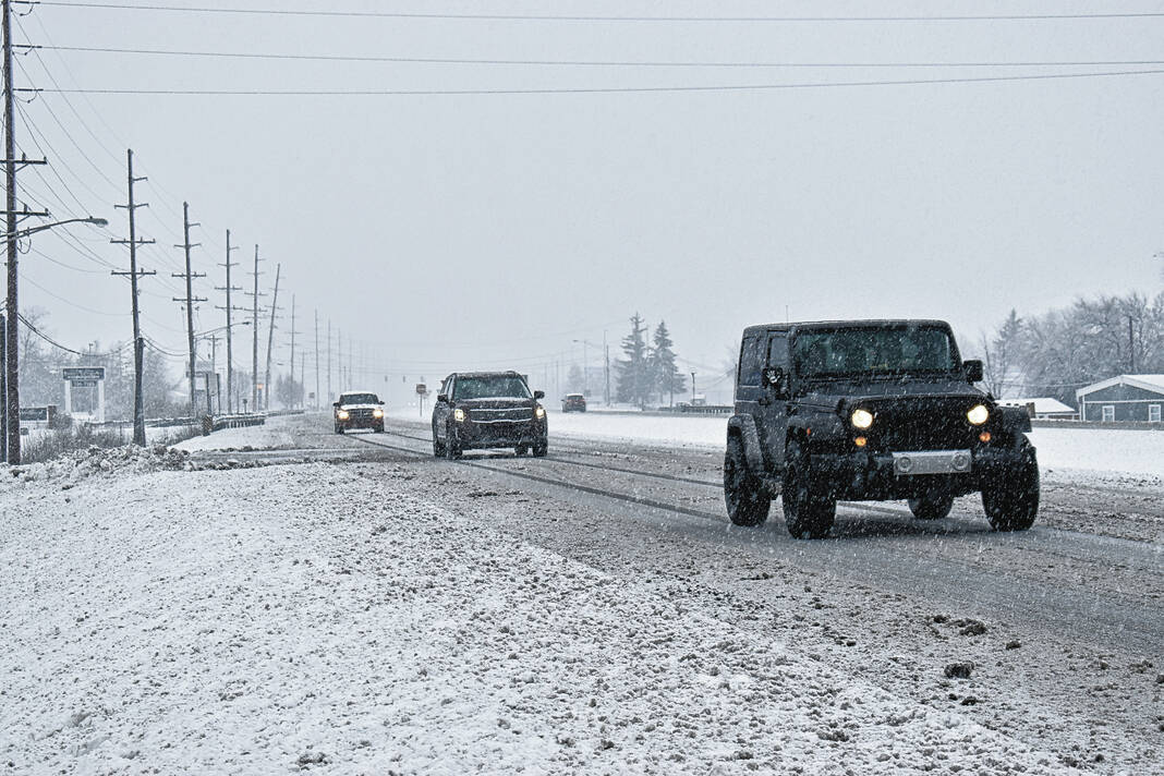
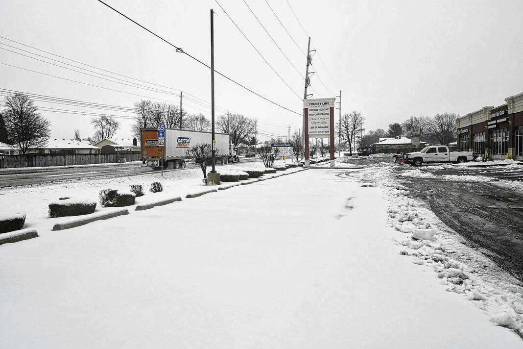
On state-managed roads such as State Road 135, U.S. 31 and Interstate 65, traffic speeds remained close to normal. Large sections of State Road 44 west of Franklin and State Road 252 between Trafalgar and Amity/Edinburgh were reporting slowdowns midday Wednesday, according to the Indiana Department of Transportation.
Emergency calls
Emergency calls throughout Johnson County were fairly average for a snowy day, said Johnson County Sheriff Duane Burgess.
The sheriff’s office responded to six slide-offs and five small property damage car accidents in the morning during the heavy snow, he said. This number of calls in these conditions isn’t unprecedented.
Reports of a couple tree branches down in the county also came in, and were cleared by the highway department, Burgess said. The county jail also had some power flickers due to the weather, but those were resolved.
The Bargersville Fire Department also had an average morning, and went out on one weather-related call, said Mike Pruitt, deputy chief. Calls started to pick up later in the morning on the scanner, he said, but most did not require fire or EMS assistance.
“Everything was pretty quiet in the county, and then when we hit rush hour, I was watching our runs command across the county, and then all of a sudden it started snowing heavier, and everyone decided to bend a fender,” Pruitt said.
Across the Indianapolis District for the Indiana State Police, the agency’s call volume was “increasing quickly” as troopers responded to numerous crashes, spokesperson Sgt. John Perrine tweeted Wednesday morning. Earlier Wednesday, Perrine reported Indianapolis District troopers had responded to at least 12 crashes — including one with injuries — between 4 to 8:32 a.m.
Other effects
In Johnson County, relatively few power outages were reported as a result of the storm. Two customers reported Johnson County REMC outages in White River Township and Nineveh, but no Duke Energy outages were reported at all in the county as of Wednesday afternoon.
Heavier, wet snow like what was seen Wednesday can cause power lines and tree branches to go down. Pruitt said if a power line goes down, do not touch it, and if it is not in a life-threatening situation, call the electric company instead of 911.
“That loads up the 911 call system but if it is, you know, a life hazard or if it’s catching property on fire or something like that, then we do definitely need to call 911,” Pruitt said.
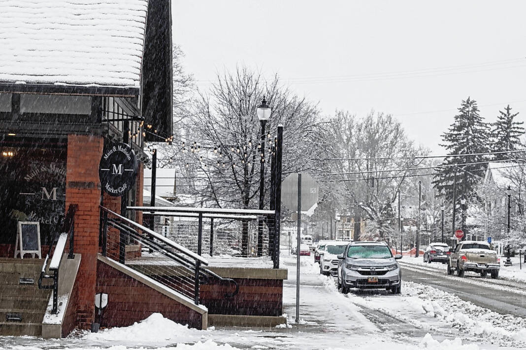
Some businesses and government agencies also closed due to the storm. The Town of Trafalgar announced that town hall would be closed all day Wednesday. In Franklin, the chamber of commerce announced they would be closed as well, delaying the ribbon cutting ceremony for Drop Shot Pickleball.
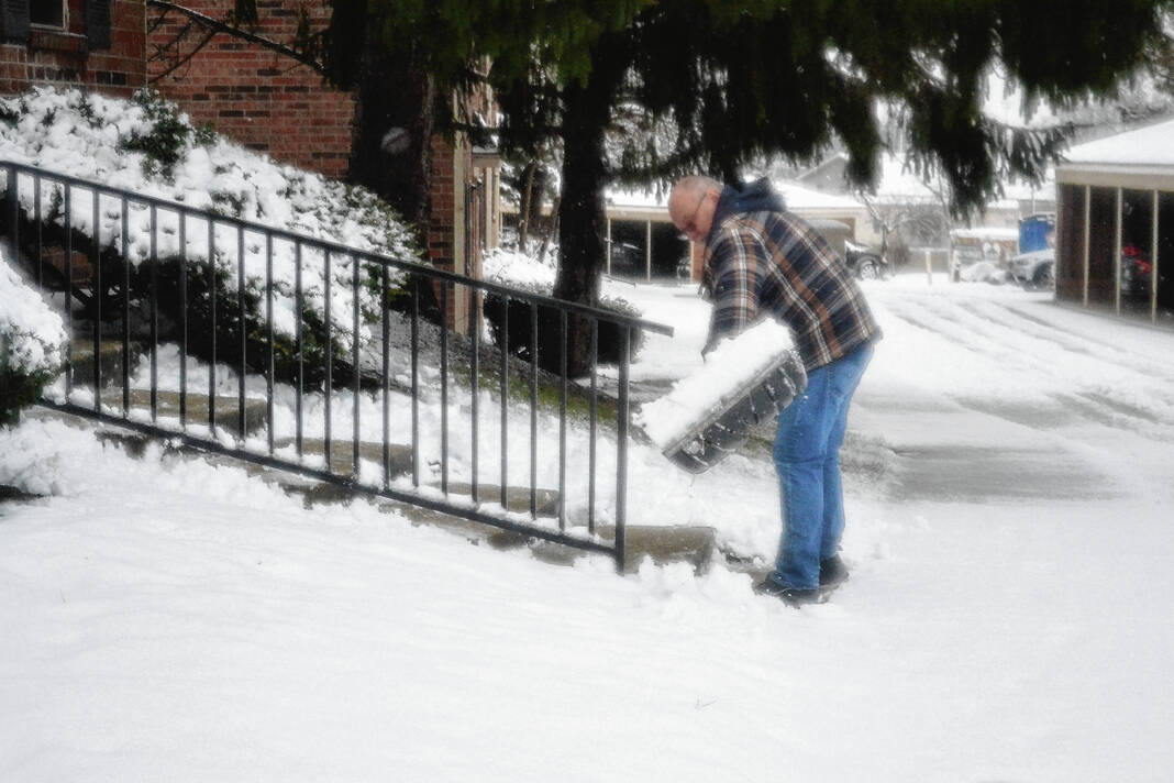
As people begin to venture outside after the storm, they should be aware of what’s above them if they go outside, officials said. The wet, melting snow can easily slip off roofs and trees.
“Anything that’s gonna hurt you here is probably going to come from above your head that you’re not gonna notice,” Pruitt said.
— Daily Journal reporter Noah Crenshaw and Multimedia News Editor Emily Ketterer co-wrote this report.


