


The summer sun shines bright above the Johnson County Courthouse in a partly cloudy sky on Friday in Franklin.
Noah Crenshaw | Daily Journal
Johnson County will get its first taste of extreme heat when the first heat wave of the season arrives next week.
The National Weather Service in Indianapolis has issued an 8- to 14-day temperature outlook calling for a 90-100% chance of above-normal temperatures beginning Tuesday. At the same time, high humidity is expected to enter the region too, making it feel extremely hot, meteorologists say.
High temperatures and heat indexes are expected through at least the end of next week, forecasts show.
Forecast impacts
Heat-related impacts are expected to be “major” before escalating to “extreme” for Johnson County, according to Heat Risk, an experimental color-numeric-based index that provides a forecast of heat-related impacts to occur over a 24-hour period within a seven-day range. The weather service launched the free online tool last month.
Factors the tool takes into consideration include how unusual the heat is for the time of year; the duration of the heat, including both daytime and nighttime temperatures; and if temperatures pose an elevated risk of heat-related impacts based on data from the Centers for Disease Control and Prevention.
High temps will start on Sunday, with highs expected to be around 90 degrees. The heat risk is in the moderate category, also known as Level 2 or Orange. This level of heat affects most individuals sensitive to heat, especially those without effective cooling and/or adequate hydration, according to the weather service.
On Monday, highs will approach 92 degrees with a heat index of 97 possible. The county is expected to be in the major category, a.k.a. Level 3 or Red, on the Heat Risk scale. Heat conditions are expected to affect anyone without effective cooling and/or adequate hydration. Impacts are likely in some health systems, heat-sensitive industries and infrastructure, according to the NWS.
Major heat-related impacts are expected to continue Tuesday, with most of Johnson County being upgraded to the extreme category, a.k.a. Level 4 or Magenta. The weather service describes this category as “rare and/or long-duration extreme heat with little to no overnight relief.” The high temperature on Tuesday will be around 91 degrees, with a heat index around 97.
By Wednesday, more of the same is expected. Highs will be around 91 degrees with a heat index of 95 degrees expected. However, even more areas of the county are anticipated to be in the extreme category on the Heat Risk tool.
Thursday, highs will be around 92 degrees, with a heat index of 97. As for the Heat Risk, extreme heat-related impacts are expected to continue.
There is also a risk of rapid onset drought next week because of high heat, abundant sun and limited rain chances, meteorologists say.
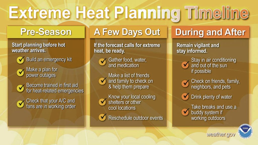
How to stay safe
Heat is one of the leading causes of weather-related deaths most years, the NWS says. With heat this high forecasted, there are several things people can do to stay safe.
For starters, people should make sure to stay hydrated throughout the day by drinking plenty of water — regardless of the outdoor activity. They should also make sure to wear sunscreen with high SPF, especially if they are going to be out in the sun all day, officials say.
The NWS recommends people reschedule outdoor work and strenuous activities until the coolest time of the day and seek shelter out of the sun, preferably in a location with air conditioning. If having to work outdoors, make sure to take breaks in the shade.
Wearing light-colored and loose-fitting clothing can also help people stay cool too, officials say.
People should also never leave children, disabled adults or pets in parked, unattended vehicles. This can be deadly.
Checking in with each other is one of the most important things people can do to stay safe, said Ken Graham, director of the National Weather Service.
“Some are very vulnerable to the heat,” Graham said. “Check in on them, make sure they’re safe.”
Temperatures will soar next week from the Midwest to the Northeast, where several dozen record afternoon high and record warm morning lows are set to fall.
Heat is the leading cause of weather-related deaths most years. Take it seriously.https://t.co/VyWINDk3xP pic.twitter.com/0vd41f47CV
— National Weather Service (@NWS) June 14, 2024
Everyone is affected by heat, but some groups are affected more. Pregnant women, newborns, children, the elderly and those with chronic illnesses are especially vulnerable to heat-related impacts, officials say.
When the weather is very hot, people should also prepare to avoid things like dehydration, heat cramps, heat stroke, heat exhaustion and more. Signs of heat cramps include muscle pains or spasms in the stomach, arms or legs, while signs of heat exhaustion include heavy sweating, paleness, muscle cramps, tiredness, weakness, fast or weak pulse, dizziness, headache, fainting, nausea and vomiting, according to Ready.gov, a federal emergency preparedness website.
Heat cramps and heat exhaustion can escalate to heat stroke without intervention. Signs of heat stroke include an extremely high body temperature of above 103 degrees, taken orally; red, hot and dry skin with no sweat; a rapid, strong pulse; and dizziness, confusion or unconsciousness, according to Ready.gov.
If heat stroke is suspected, call 911 or get the person to a hospital immediately. Cool them down with whatever methods are available until medical help arrives. Do not give the person anything to drink, officials say.
If going to the pool to cool off, people should remember water safety. Public pools have lifeguards but can be very crowded at times, so parents and guardians should keep a close eye on kids to make sure they’re doing OK, said Mike Pruitt, deputy chief of the Bargersville Community Fire Department.
Regardless of the type of waterway, whether it’s a lake or a pool, people should always have a swim buddy, Pruitt said.
For more heat safety tips, go to weather.gov/safety/heat.


