


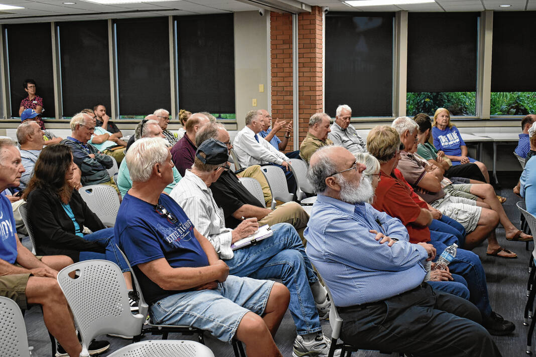
Community members listen to a presentation about the draft of the new comprehensive plan Wednesday at the Greenwood Public Library. Noah Crenshaw | Daily Journal
Greenwood officials presented the draft version of the city’s new comprehensive plan Wednesday night. Residents had several questions, including the inclusion of a proposed road extension through Freedom Park.
For nearly a year, officials have been creating a new comprehensive plan, which will guide development and growth in the city for the next 10 to 20 years. The full plan was last updated in 2007, and while there have been some smaller updates since then, it does not account for all of the growth the city has seen over the last 20 years.
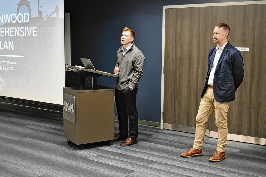
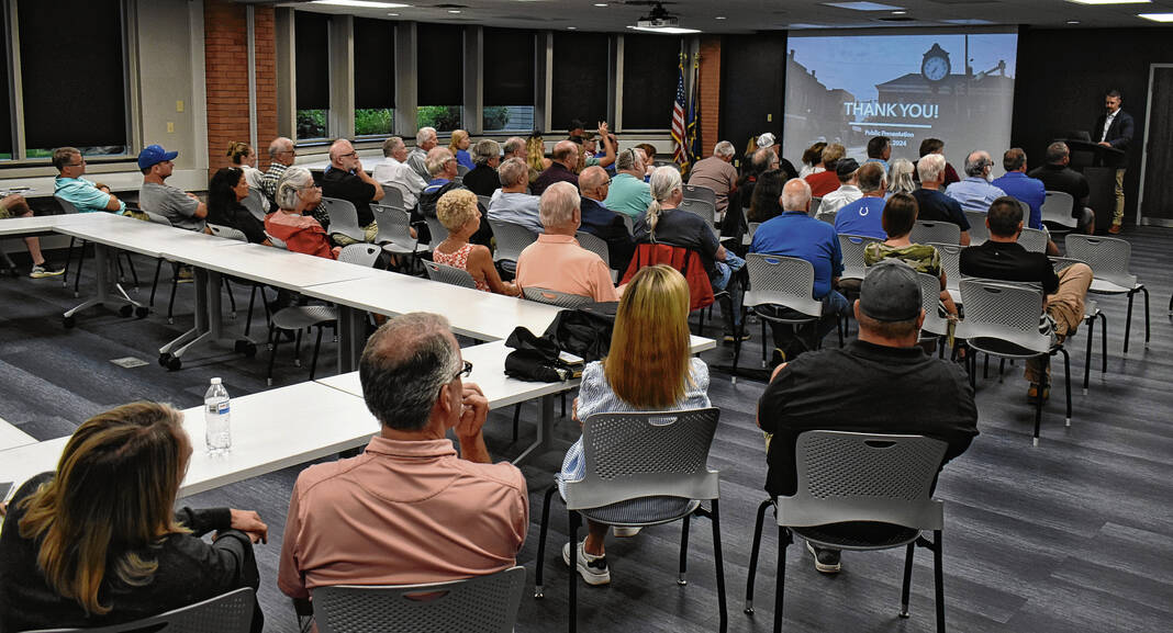
On Wednesday, city officials and consultants from HWC Engineering, the city’s consultant for the plan, held a public meeting to explain the plan and encourage public feedback. Dozens of residents attended the meeting and asked questions about the plan.
Several residents asked questions about an extension of Stop 18 Road through Freedom Park which would connect to nearby neighborhoods. While there are no immediate plans for this, residents were concerned it was included at all.
Plan highlights
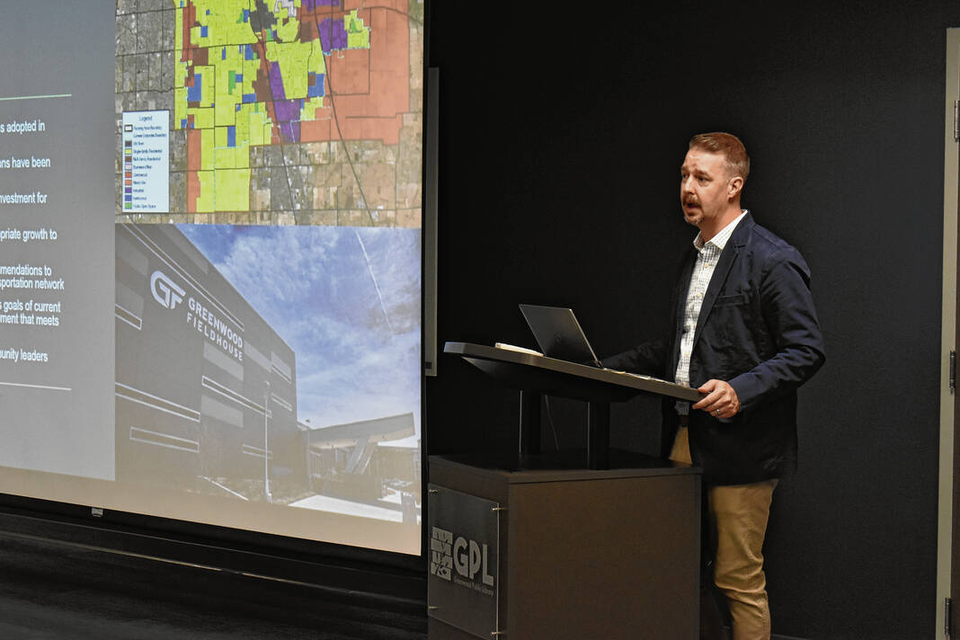
The 279-page draft identifies several key themes for the city’s future growth, redevelopment and investment, which were categorized based on the city’s “Four Pillars” — public safety, infrastructure, economic development and quality of life, along with land use.
For land use, planners recommend the city encourage infill and reinvestment in existing areas. They also suggest using new growth areas to create more varied housing and job opportunities, said Adam Peaper, a project manager for HWC Engineering.
Infrastructure was another key focus, with planners suggesting officials use planned road improvements and extensions to manage development. It is also suggested officials work to address safety and congestion concerns, which came up frequently in community feedback, and to use new development to expand vehicular, bicycle and pedestrian connectivity, Peaper said.
For quality of life, city officials are being encouraged to grow recreational opportunities through new parks and expanded trails and maintain Old Town and established neighborhoods as foundations of the community. The city should also work toward supporting attainable housing that “fits the character and aesthetic of existing neighborhoods,” Peaper said.
As for public safety, the plan says the city should continue to grow emergency services alongside new developments and improve communications between city staff, residents and regional partners. In response to concerns about building, zoning, fire and public safety codes not being enforced, it was recommended to improve them to make them more enforceable and respected, Peaper said.
In terms of economic development, the city should continue attracting higher-paying/higher-skilled jobs, continue supporting local businesses and entrepreneurs and work with Simon Property Group to ensure the Greenwood Park Mall remains vibrant and can adapt to future changes.
Additionally, six areas were identified as areas for redevelopment and investment. These areas are Old Town, the Greenwood Park Mall, Airport Parkway between Main Street and County Line Road, Main Street east of Interstate 65, the Main Street I-65 interchange and Worthsville Road east of I-65.
Examples identified on the plan, which are conceptual and dependent upon future development, include converting the city parking lot in front of the City Center to park space and new buildings and building a parking structure to the southwest in Old Town. For Airport Parkway, the two sections of roadway could be connected, opening up a large new area for new commercial or residential developments, Peaper said.
East of I-65, a new “town center” could be developed near Main Street/Rocklane Road and Griffith Road, featuring residential, mixed-use and park space. This was identified as a need so that people wouldn’t necessarily have to drive west into town to go to these uses, Peaper said.
Road extension questions
Once the presentation was complete, residents’ questions turned toward the proposed Stop 18 extension. A road extension through Freedom Park has been identified as far back as 2007, as it is in the current comprehensive plan. Additionally, the potential road’s classification would be lowered to accommodate for less traffic than what it is currently planned as in the 2007 plan, officials said.
If the extension is built, it would be to accommodate the future growth of Freedom Park. This would occur if additional amenities are added to transform it from a neighborhood park to a community park as more community park. This would necessitate an extension down the line to improve access, especially to those who live west of the park, said Gabe Nelson, planning director.
While it is shown on the plan as a straight line, the road would not actually be straight, Nelson said in response to one resident’s question. It would weave through the park with speed-reducing features such as curves, he said.
One resident questioned why the road would connect to Honey Creek Road, alleging a past plan had it connect further south at Cutsinger Road. Nelson said the goal would be to design a road that is safe, and said there are multiple examples of parks that have roads that wind through them. One he cited is Province Park in Franklin.
Officials did later acknowledge that because a potential road would run past several subdivisions, it would collect cars on it, but it would have as many access points as a typical neighborhood street.
“We’re going to be designing this road with safety in mind. A lot of that comes during the engineering process,” Nelson said. “Right now we do not have any engineered plans or intentions. I know of no plans right now to build that road aside from what we have in a comprehensive plan.”
As for the other part of the man’s question about why the change in connection was made, Nelson said it could be because they wanted the road to line up to an existing intersection in one of the neighboring subdivisions.
Former city council member Brad Pendleton, who lives in the neighborhood near the proposed extension, questioned the inclusion of it. It seemed like there was another way to go about this, Pendleton said.
Having the extension in there is “keeping that door open” despite feedback from residents saying they didn’t want it and the lack of information in the plan about it, he said.
“It kind of flies in the face of all of that to say, ‘We’re going to keep it in there because we think it’s a good idea.’ It just kind of seems like the feedback that’s been given is thrown out the window,” Pendleton said.
The community engagement report attached to the draft also makes mention of the proposed Stop 18 Road extension, with at least three comments asking that it not happen and be removed from the plan, according to the report.
Other comments
A few residents asked how changes could be made to the plan once it is approved. Peaper recommended a regular review of the plan, while Nelson encouraged people to take part in the process, come to meetings or speak with planning staff and city council members about changes they would like to see.
One man asked if there was an easier mechanism for residents to remove certain planning requirements for projects, saying the requirements should only done if there is “overwhelming agreement within the neighborhoods” affected. He cited the requirement that streets in new neighborhoods be connected to stub streets in existing neighborhoods — a point of contention during the Walker Farms project hearings earlier this year.
“There shouldn’t be no cut-and-dry one-size-fits-all on all this,” the man said.
Peaper said one concern related to this is that if it’s not required, there will always be pushback. Officials will be left with less connectivity and more issues on more major roadways because there are fewer “relief valves” for traffic. Stub streets are not designed to be major through connections, he said.
Another man suggested the city focus more on maintaining current infrastructure rather than focus on growth. It was also suggested the city become more proactive in purchasing parkland and consider parks in areas that aren’t east of I-65.
Peaper said that throughout the process planners have heard from residents who were supportive of more “proactive acquisition” of parkland.
What’s next
Nelson felt the meeting went great and was happy to see the public come out to learn about the plan and give feedback.
As for the comments made by the public about the Stop 18 Road extension, Nelson said it was hard to say if he anticipated any changes in light of the comments. This is because there are no actual plans for it yet, he said.
After the meeting, Pendleton said he felt the city didn’t address his concerns about the proposal, however.
“I, along with others in the back, took it as being dismissed and it is going to happen whether we like it or not,” he said.
Pendleton suggested a potential compromise of solution would be to have a trail to connect to Honey Creek Road, which he felt would fall in line with the community feedback and be “a more direct, and safe, route” to Freedom Park, his proposal said.
Planners have already incorporated some of the concerns, Nelson said, again citing the lowering of the road’s classification. They also made the road curve and weave more, whereas it was more straight in past plans.
“But it is our goal to make this regional park for the whole community, not just for the residents there,” Nelson said. “There is already part of the road constructed there that was there before the development of the homes being purchased.”
Feedback is still being solicited for the plan. Residents can check out the plan and provide feedback online at PlanGreenwood.com before Aug. 12.
With Wednesday’s meeting in the rearview, planners will give an informal presentation to the city council on Aug. 5. A final adoption draft is expected to be available on Aug. 12, which will incorporate additional public and city council comments, officials said.
If this timeline holds, the plan commission will hold a hearing to issue a recommendation on the plan on Aug. 26. City council adoption would likely take place the next month, assuming there are no questions that need to be addressed or requests for more time to review it, Peaper and Nelson said.


