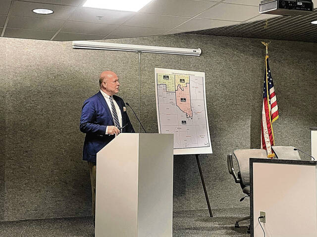
Some voters will vote in new county council districts this May.
The Johnson County Board of Commissioners on Tuesday unanimously approved a redistricting proposal submitted by Commissioner Brian Baird on behalf of the county. Baird created the map with help from Indianapolis Law Firm Kroger Gardis and Regas, which the commissioners hired to guide them through the local redistricting process and help them prepare a map with more equal populations across the districts.
A proposal by Amanda Stevenson-Holmes and Josh King, the chair and vice-chair of the Johnson County Democratic Party, respectively, was not chosen. Baird, the county’s redistricting coordinator, recommended the county’s map after looking over both proposals, said Brian Bosma, an attorney helping the county redistrict.
The ideal population for each of the four single-member county council districts is 40,441, representing a fourth of the county’s 161,765 residents each. The county’s initial map had unbalanced districts, with the most populous district at 45,610, and the least populous at 37,706. The districts are, respectively, 12% greater than the mean and 7% less than the mean. Figuring those together, the total deviation was more than 19%.
The county’s new map has a population of 40,280 in District 1, 40,107 in District 2, 41,153 in District 3 and 40,225 in District 4. The new map has a total deviation of 2.59%, while the sole public proposal by the Democrats had a 6.6% deviation, Bosma said.
The new maps keeps the county’s districts pretty close to what they are geographically, and keeps the rural areas intact under a single district, he said.
The county’s map, and an ordinance authorizing it, also account for potential issues that could come up due to human error. For example, if the new map accidentally put a neighborhood in two districts, the district with the lowest population would get the neighborhood, Bosma said.
No one showed up to a public hearing Tuesday.
Local redistricting restarted last month, after Stevenson-Holmes and King challenged the county’s map. The commissioners at the time said they were left with little choice but to approve the unbalanced districts due to the time crunch created by circumstances outside of their control.
“The last federal Census was in 2020, but as a result of COVID-19 and other delaying factors, the Johnson County commissioners did not receive Johnson County’s precinct establishment order from the State of Indiana until December 20, 2021, only 11 days before the final statutory deadline under Section 36-2-3-4 of the Indiana Code. As a result of Johnson County’s significant growth over the last decade, the county council districts drawn after the previous 2010 federal census were no longer viable,” the three-member board said in a statement. “In other words, the commissioners were obligated to redraw the county council district maps and boundaries. The full redistricting process that provides the opportunity for public input and comment, however, takes several weeks, and it was therefore impossible for the commissioners to commence and conclude that process between Dec. 20 and Dec. 31, especially given the Christmas and New Year’s Eve holidays in that time frame.”
The redistricting process also caused the filing and withdrawal deadlines for the four county council districts up for election to be extended. The extension was needed to make sure candidates have ample time to ensure they are registered to run for the seat where they reside. The deadline to file to run for county council or withdraw candidacy is noon Friday. All four county council districts are on the ballot this year. The primary election is May 3.


